Considering a Dover land purchase that touches a stream or marsh? Wetlands can make or break a deal, especially when you plan new construction or a subdivision. You want clarity on what is regulated, how to permit it, and where the real risks lie. This guide gives you a simple, investor-focused roadmap for screening, permitting, budgeting, and de-risking wetland constraints in Dover. Let’s dive in.
Dover wetland rules
Dover enforces the Massachusetts Wetlands Protection Act and its own Wetlands Protection Bylaw, applied by the Conservation Commission. Local rules are stricter than state minimums and bring most work within 100 feet of wetlands and 200 feet of perennial streams into review. You should assume new homes, additions, driveways, grading, septic, and stormwater work in these areas will require filings with the Commission.
Start with the Commission’s official page for context and contacts. Dover’s detailed Rules and Regulations set procedures, submittal checklists, and performance standards. If Bordering Vegetated Wetland (BVW) alteration is allowed, Dover typically requires wetland replication at a minimum 1.5 to 1 with detailed monitoring, which can increase cost and reduce net buildable area.
- Review the Commission’s role and filings on the Dover Conservation Commission page: Conservation Commission
- See local procedures and standards in Dover’s Rules and Regulations: Dover Chapter 263 Regulations
- Read Dover’s replication standards for BVW alteration: Replication requirement
Mapping tools and screens
Early mapping reduces surprises. Use statewide datasets as a first pass to flag obvious red flags, then confirm in the field.
- Screen parcels in the MassDEP Wetlands Viewer. It shows photo-interpreted wetlands, past filings, and other layers. Mapping is for screening only, not a legal line: MassDEP Wetlands Viewer
- Check for NHESP certified vernal pools, which add review complexity and often limit disturbance: NHESP certified vernal pools
- Verify flood risk. Dover’s floodplain overlay references the Norfolk County FIRM dated July 6, 2021, which affects design and insurability: Floodplain overlay reference
Use these maps to decide whether a site walk and delineation are justified before you commit capital.
Permit options and timing
Most wetland filings in Dover follow one of three paths. Choosing the right track can save months.
RDA: quick applicability check
A Request for Determination of Applicability is used for minor work or to ask whether a proposed activity is subject to wetlands review. It is typically faster but limited in scope. See the state permit forms list for what to submit: Wetlands permitting forms
ANRAD: lock the boundary early
An Abbreviated Notice of Resource Area Delineation confirms the wetland boundary on a property. Investors use ANRADs to remove uncertainty about the buildable envelope before design or purchase. Many towns, including nearby Natick, describe the process clearly: ANRAD overview
NOI: permit for work
A Notice of Intent is the full design-level application for work that will alter a resource area, buffer zone, or riverfront area. Expect engineering plans, wetland documentation, and in some cases an alternatives analysis. Use the state forms and Dover’s local checklist for a complete filing: Wetlands permitting forms
Local process notes
Dover’s Regulations require strict abutter notification, complete submittals, and may authorize outside peer review at your expense. The Commission issues decisions within Wetlands Protection Act timelines, but hearing schedules, peer review, and potential appeals can extend your timeline. For timing basics and appeals windows, see this overview: WPA timelines and appeals
Site constraints to expect
Buffer and riverfront areas
Most work within 100 feet of a wetland or 200 feet of a perennial stream requires review. Designs that avoid these areas, or minimize work within them, permit more smoothly. Expect the Commission to favor avoidance first, then minimization and mitigation.
Vernal pools and habitat
Certified vernal pools mapped by NHESP increase scrutiny and can limit disturbance. A pool does not automatically block a project, but it often changes site planning and mitigation requirements. Always screen for the NHESP layer early.
Septic and Title 5
Dover’s Board of Health enforces Title 5 plus stricter local rules. On vacant-lot new construction, Dover requires larger setbacks such as 100 feet to open surface drains or watercourses for new septic systems. Coordinate soils testing and septic design early to confirm feasibility: Dover Board of Health septic code
Floodplain and groundwater
Parcels in FEMA Special Flood Hazard Areas face elevation, design, and insurance constraints. Dover’s floodplain overlay ties directly to the 2021 Norfolk County FIRM. Identify flood zones early to avoid costly redesigns.
Investor due diligence steps
Use this simple sequence to protect your timeline and budget.
- Map screen within one hour
- Run the MassDEP Wetlands Viewer and NHESP layers to flag wetlands, riverfront, and vernal pools.
- Check the floodplain overlay reference to understand elevation constraints.
- Town records check
- Ask the Dover Conservation Commission for prior Orders of Conditions, past delineations, enforcement history, or Certificates of Compliance linked to the parcel or abutters.
- Field delineation or ANRAD
- Hire a qualified wetland scientist to flag boundaries. If you want legal certainty before you buy, file an ANRAD to establish the line for planning.
- Septic feasibility early
- Coordinate a Title 5 designer and the Board of Health for soils testing and layout, especially on vacant land or where older systems may need upgrades.
- Permit strategy and budget
- Scope your filing path. For work in buffer or riverfront areas, plan on an NOI with engineering plans. Budget for peer review under M.G.L. c.44 §53G, public notice, state and local fees, and potential replication with monitoring.
- Design for avoidance
- Right-size footprints, push improvements upslope, and cluster away from resource areas. Fewer intrusions mean simpler conditions and lower mitigation costs.
- Build schedule buffers
- Even clean RDAs can take several weeks. ANRADs and NOIs can run several months if peer review or mitigation is involved. Appeals extend the timeline.
Links for reference in this section:
- MassDEP map screen: Wetlands Viewer
- Conservation records and contacts: Dover Conservation Commission
Risk management strategies
- Buy the cleanest parcel you can. Favor sites with no mapped wetlands or with a prior ANRAD or Order of Resource Area Delineation that leaves a workable building envelope.
- Use a wetland contingency in offers. Tie deposits or close dates to an acceptable delineation or ANRAD decision.
- Budget realistically. Include wetland scientist, civil engineering, filing fees, abutter notices, potential peer review, bonds, and replication costs in your pro forma.
- Keep mitigation local. Dover often prefers avoidance first and like-kind, on-site replication when alteration is allowed.
- Document everything. Record Orders and decisions at the Registry when required, and close out permits to clear title before sale.
Implications for high-end estates
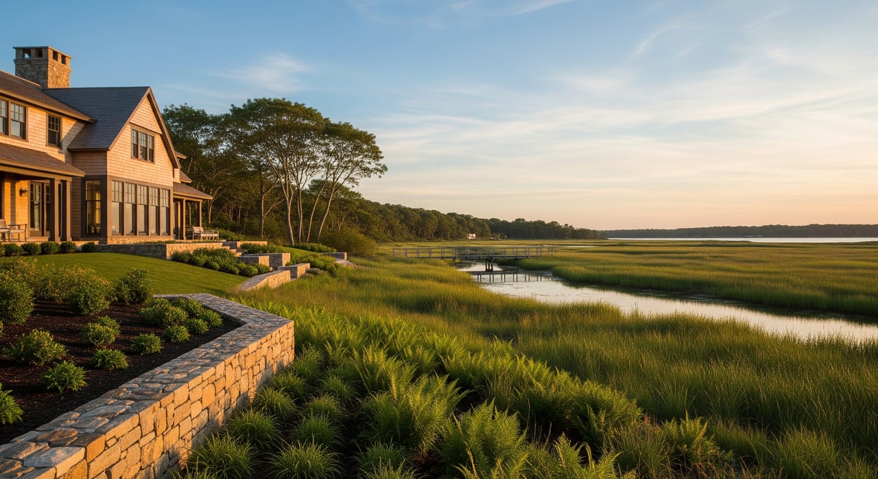
High-value country properties often feature streams, meadows, and woodlands that cross into protected areas. With early mapping, coordinated septic planning, and a clear permit strategy, you can protect both ecological value and resale potential. This thoughtful approach helps you unlock the site’s best building area, preserve privacy, and avoid costly redesigns.
Ready to evaluate a specific Dover parcel or estate site plan with confidence? For discreet, senior-level guidance on land, septic, and wetlands strategy, reach out to Mary Crane Properties.
FAQs
What are the key Dover wetland setbacks for investors?
- Most work within 100 feet of wetlands and 200 feet of perennial streams requires Conservation Commission review under Dover’s local rules and the state Act.
How accurate are the MassDEP wetland maps for Dover parcels?
- They are screening tools only; a professional field delineation or ANRAD establishes the legal boundary used for design and permitting.
What is an ANRAD in Dover and why use it?
- An ANRAD is a filing to confirm the wetland boundary; investors use it to lock the line before committing to design, pricing, or purchase.
How do septic rules affect Dover land deals?
- Dover applies Title 5 plus stricter local setbacks, such as 100 feet to open surface drains on vacant-lot new construction, which can limit siting options.
How long do Dover wetland permits usually take?
- Simple RDAs can take weeks, while ANRADs and NOIs commonly run several months when peer review, mitigation, or appeals are involved based on WPA timelines.